Skip to the report

AQUAVAIL LTD

Site surveys, condition reports and specifications · Christchurch, Dorset
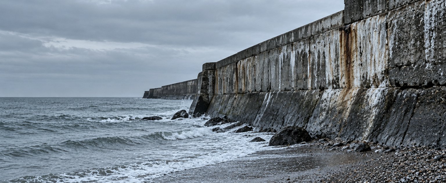
Photograph of a weathered concrete sea wall meeting a shingle beach under a flat grey sky, old repair patches visible. Editorial photograph, not a site surveyed by this company.

Surveys on the Dorset coast, set down as ten observations and the limits they were read within

AQUAVAIL LTD prepares site surveys, written condition reports and specification documents for property owners and the advisers acting for them. Every observation below carries its qualifying note in the margin beside it, so a finding and its limit are read together.

Band: editorial photograph of a sea wall elsewhere on the English coast. Not a site surveyed by this company.

Observation 01

What the coast is read for

A survey here begins at the water and works inland, because that is the order in which weather reaches a building. The first pass is a walk: the frontage is paced, reachable faces are reached, and the hour and the tide state are written at the head of the sheet.

Four properties are read on that walk, each recorded as a described condition rather than a score.

Fabric
Concrete, masonry, render and their joints, face by face.
Water
Where it arrives, where it stands and where it leaves.
Access
What could be stood on, and what was read from a distance.
Movement
Cracking, settlement and displacement, against a stated datum.

Observation 02

Exposure note: points along a frontage

How many observation points a frontage takes at a chosen spacing, and what that costs in walking and in time. Arithmetic on the three figures entered, shown step by step. A guide for planning a walk.

Exposure note: three entries and the three readings taken from them
m
m
min
Points 180 ÷ 15 = 12 intervals, and the first point is added 13 points
Walked 15 × 12 intervals 180 m
On site 13 points × 7 min 91 min · 1 h 31 min

Observation 03

A section through the shore

The drawing below is the shape every coastal record is written against: the wall in profile, the beach falling away from its toe, and the observation points dropped onto the line with the level read at each one. It draws itself once, and the tide band washes across the foot.

Specimen section through a sea wall and beach A drawn cross-section through a sea wall and the beach in front of it. The sea is at the left; the beach rises from low water across to the toe of the wall. The wall itself is a battered mass with a coping stone along its top, and behind it the land runs away to the right. Ten observation points sit along the profile — five up the beach, two on the seaward face of the wall, one on the coping and two on the land behind — each labelled with a specimen chainage number and a specimen level. A banded tide mark lies across the water at the foot of the drawing. The figures are specimens that show the form of the record, not measurements of any site. 01+1.80 02+2.10 03+2.45 04+2.80 05+3.15 06+4.20 07+5.60 08+7.40 09+6.95 10+6.70

Specimen chainages and levels. The drawing shows the form of the record; it is not a measurement of any site.

Observation 04

Standing on an exposed shoreline

An instrument set above an estuary reads the same ground twice over one tide. The window is not the whole day: it is the part of it when the face is dry, the light is usable and the staff can be held still.
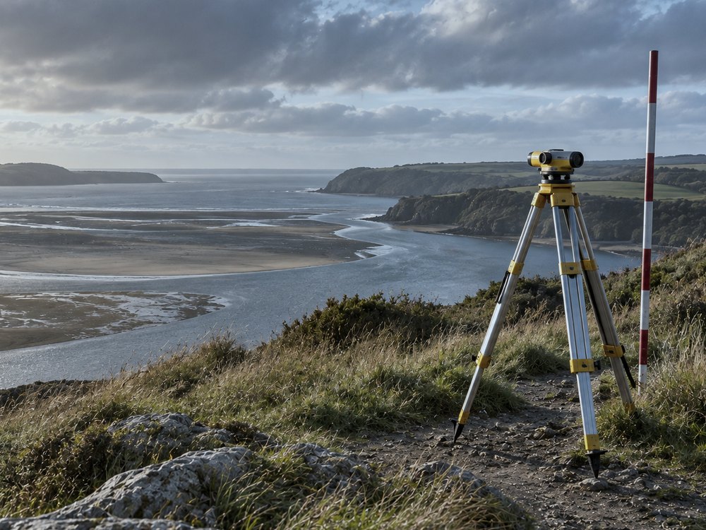
Photograph of a surveyor's tripod and levelling staff standing on a clifftop path above an estuary at low tide. Editorial photograph, not this company's equipment or site.
Editorial photograph. Not this company's equipment, and not a site it has surveyed.
How a working window sits inside a day A horizontal bar representing one day from first light to last. Two shaded blocks at either end mark the hours when the face is under water. The clear middle span is the workable window, marked off between two uprights. workable window face wet face wet
The window is cut at both ends by the tide, and the sheet in observation 05 counts what is left.

Observation 05

Weather-window sheet

Daylight, the hours the survey needs and the days a week is expected to be workable. The sheet returns the span, the slack and the week it could finish in. Arithmetic on three typed figures; it does not know the forecast.

hours
hours
days

8 × 3 days 24 hours in a workable week

34 ÷ 24, carried up to a whole week spans 2 weeks

24 − 17 spread evenly 7 hours slack each week

10 hours left to run ÷ 8 finishes in week 2, on its 2nd workable day

Observation 06

How a condition is described, graded and qualified

A condition is written as a sentence before it is written as a grade. The sentence names the element, the face, the defect and the extent reached; the grade follows as shorthand for it, never as a replacement.

Three grades are used. One: serviceable, with the evidence stated. Two: serviceable, with work identified and a period named. Three: work required for the element to go on doing its job. Each grade is dated, because a coastal face moves between visits.

Where an element was out of reach, the report states what was read instead, from where, and what would be needed to read it properly. That sentence is as much part of the record as the grades around it.

Observation 07

Writing it down the same way twice

Photograph of a drawing board with a rolled site plan, scale rule and a plain clipboard in window light. Editorial photograph, not this company's office or documents.
Editorial photograph of a drawing board. Not this company's office, and not its documents.

A report is useful only if the next one can be laid beside it. The record therefore keeps one order from first page to last, and the specification quotes observation numbers rather than restating them.

  1. The head sheet: date, hour, tide state, weather and who was on site.
  2. The frontage, paced and chained, with observation points numbered along it.
  3. The faces in the order reached, each with its sentence and its grade.
  4. The extent reached on each face, and what was read from a distance.
  5. The drawing register: what was drawn, at what scale, to what datum.

Observation 08

What leaves the office

Survey record

The sheets as written on site, transcribed without edit, with the head sheet in front.

Condition schedule

One row per element: the sentence, the grade, the date and the extent reached.

Specification

What is to be done, in the order it is to be done, quoting the observation it answers.

Drawing register

Every drawing issued, with its scale, its datum, its revision and the date it was issued.

Observation 09

The extent clauses, as they are printed

Every report carries the same five clauses on its last page. They state the reach of the work, so a reader coming to the document later knows what was looked at.

  1. 9.1 The report records the condition found on the stated date, at the stated hour and tide state.
  2. 9.2 Extent reached on each face is given as a fraction of that face, and the means of access is named.
  3. 9.3 Levels are referred to the datum printed on the drawing, or to a temporary mark described in the text.
  4. 9.4 Where an element is concealed, the report states what was visible and what would expose the rest.
  5. 9.5 The specification answers observations by number, so each instruction traces to the finding behind it.

Observation 10

The standing note

A finding and the limit it was read within are one statement. Printed apart, each of them says something the survey did not find.

It is printed at the head of every condition schedule this office issues, and it is the reason the notes on this page hang beside the observations rather than underneath them. Written enquiries about a survey, a condition report or a specification document go to enquiries@aquavail.work.